designBridge

ev charging station

Projects · 2009

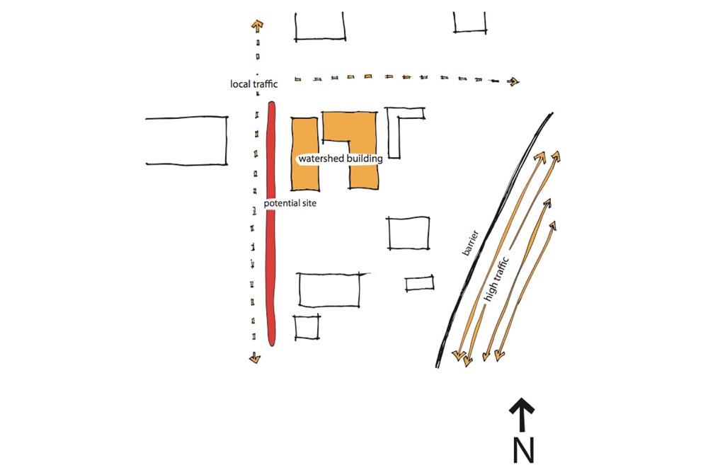
Site-analysis sketch marking a potential site beside the watershed building, with local and high-traffic routes
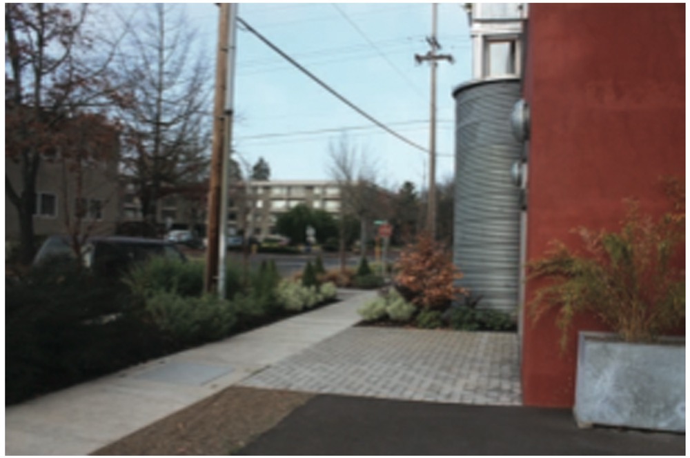
Street-level photograph of a pavement and planting beside a red-walled building, filed under the watershed option
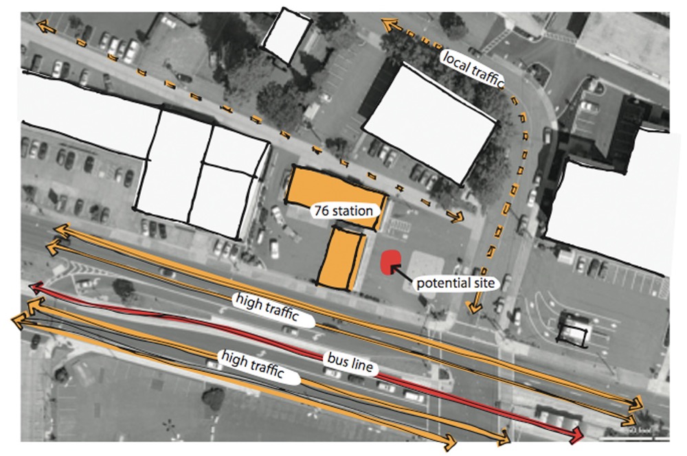
Aerial site analysis marking a potential site beside the 76 station, with high-traffic lanes and a bus line
Archive note, November 2026. The original page was a gallery of sixteen images with no written text. These three are the ones that survive. The custodians' notes on the designBridge projects, 2007–2013 describe what they show.